


Putting Coastal Hazards Overlay Districts on the Map
Zoning Practice — July 2026
By Gavin Smith
Not a member but want to buy a copy? You'll need to create a free My APA account to purchase.
Create account
Planners working in coastal communities know that the impacts of natural hazards are increasing. Factors contributing to this reality include rapid growth in high-hazard areas and preexisting public and private investments in places that are prone to hurricanes, nor’easters, flooding, coastal erosion, and subsidence. Adding to this threat are more intense, slower-moving, water-laden coastal storms and sea level rise associated with a changing climate. These conditions necessitate applying flexible planning tools and a diversity of options undertaken at multiple scales (i.e., site, neighborhood, jurisdiction, and region) that can be used to address both current and future conditions, thereby creating more resilient places.
Coastal hazards overlay districts provide a comprehensive and flexible approach to reducing coastal hazards risk and adapting to a changing climate. This technique, which can help to address existing regulatory gaps, has been used in coastal cities like Norfolk, Virginia, and is slowly gaining traction in other places in both the U.S. and abroad.
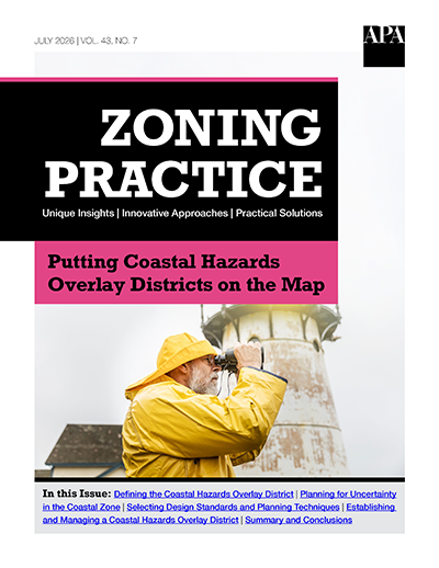
This issue of Zoning Practice describes how planners can use coastal hazard overlay districts to make their communities more resilient in the face of natural hazards, disasters, and a changing climate. It discusses the origins and key features of this new type of district before exploring key planning, regulatory design, and implementation considerations.
Details
About the Author
Gavin Smith
<p>Gavin Smith is a Professor in the Department of Landscape Architecture and Environmental Planning at North Carolina State University. His teaching and research focus on hazard mitigation, disaster recovery, and climate change adaptation, and the integration of research and practice through deep community engagement. Educational efforts focus on the oversight and teaching of courses associated with a 13-credit graduate certificate titled Disaster Resilient Policy, Engineering, and Design. Current work involves the creation and dissemination of a Coastal Hazard Overlay District Guide that visually depicts and describes 51 disaster resilient design standards and planning techniques tied to community-led relocation, avoidance, protect, and accommodate-based strategies. In addition, Dr. Smith is involved in cross-cultural research exploring lessons from the large-scale acquisition of hazard-prone housing in the US and New Zealand that can be used to inform emerging national community-led relocation programs in both countries. This work has evolved into the development of an International Learning Lab spanning partners in the U.S., Australia, New Zealand, and England.</p>